AEE 204 — Lakhshum qal‘a
|AEE 204-1|
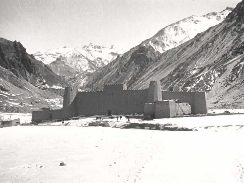
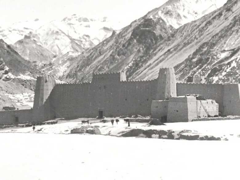
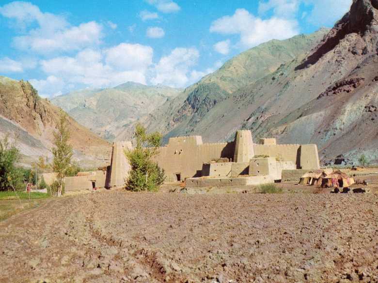
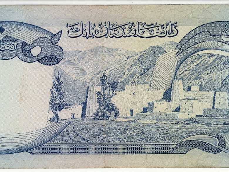
Typisches Beispiel einer afghanischen qal‘a (Bauernburg) mit vier Ecktürmen und späteren Anbauten. Diese qal‘a eines Ismaëli-Stammesführers liegt im darra-ye pahlawansang-Tal am westlichen Fuss des Shibar-Passes auf dem Weg nach Bamiyan. Sie wurde zur Zeit von Präsident Daud (1973-78) auf der 500 Afghani-Banknote abgebildet.
♦♦♦
A typical qal’a at the western foot of the Shibar Pass in the darra-ye pahlawansang, belonging to the clan of a tribal leader of the Ismaëli community who still inhabit the area. At the time of President Daud (1973-1978) this qal’a was shown on the 500 Afghani banknote.
[Liste der Negative:] 15-299 – Einsamer Lehmbau im Gebirge.
[Foto, verso:] Einsamer Lehmbau im Gebirge. Lehm rötlich, eisenhaltig?
- N. Dupree (1977): An historical guide to Afghanistan, p. 149-150: “The road to [from] Kabul passes through tiny Bololah (alt. 2400 m; 7874 ft.) and just beyond [before it] one is treated to the sight of a magnificent qala on the left [right]. It is classic in design, like those described on the way from Kandahar to Kabul, but here in the heart of these wild mountains the walls soar upward, and the corner towers rise tall and stout to give it the appearance of an impenetrable fortress.”
You know more about this picture?


